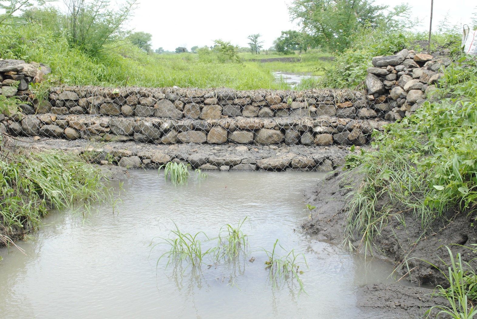
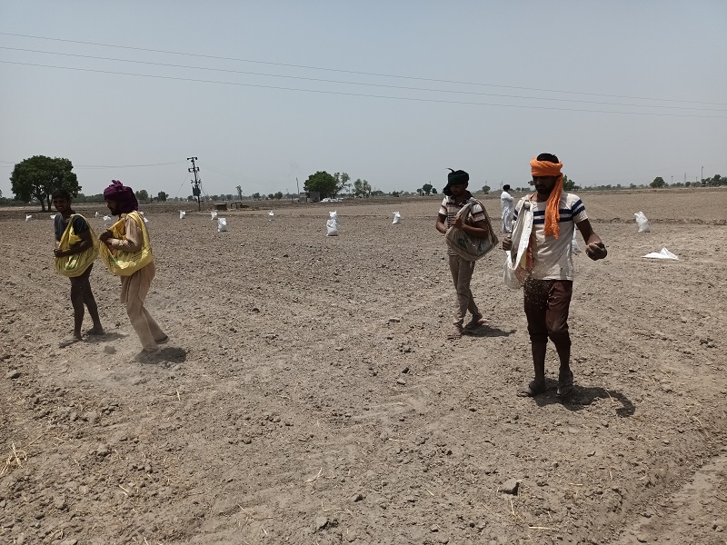
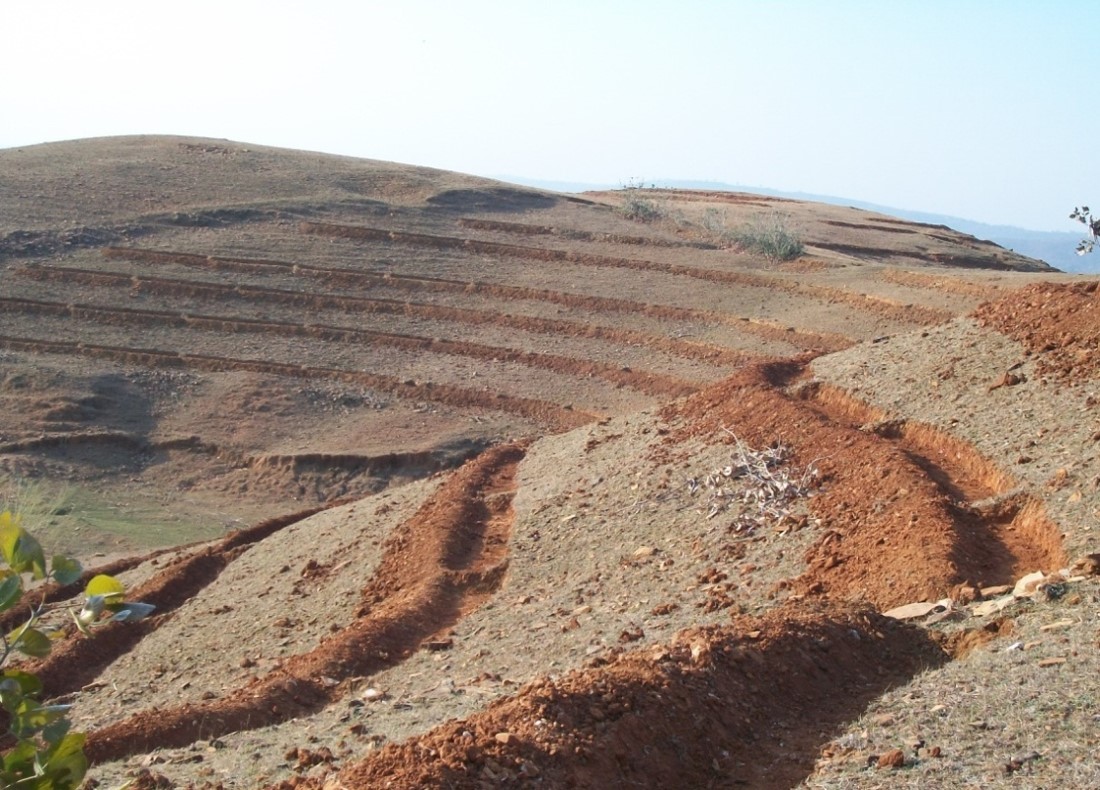
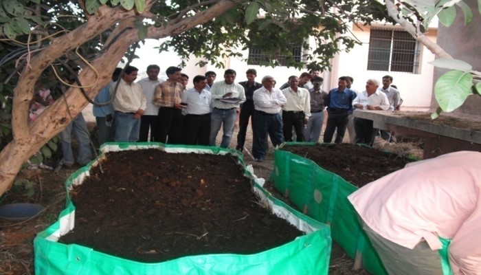
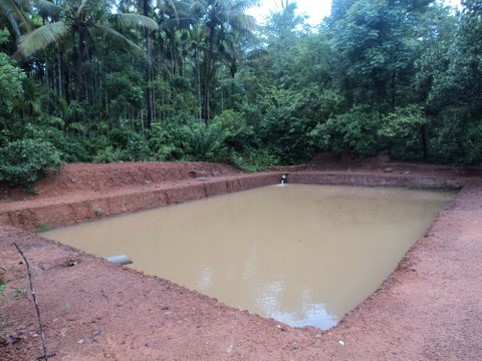
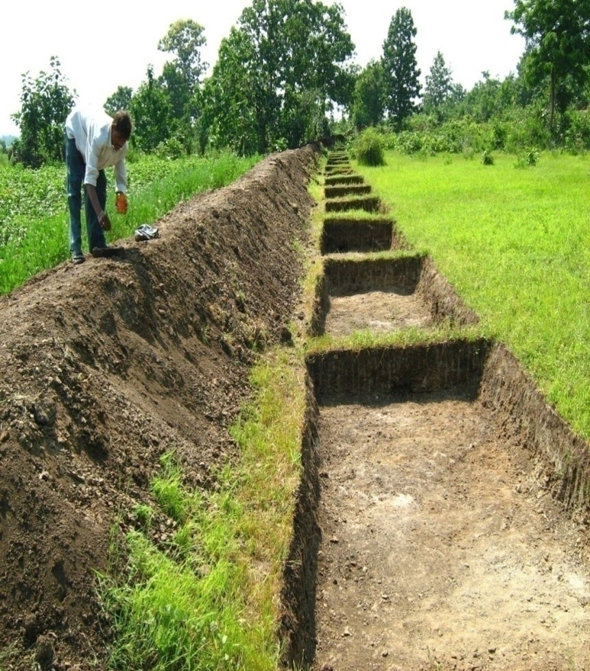
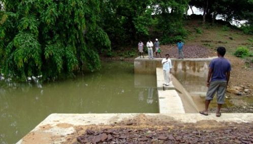
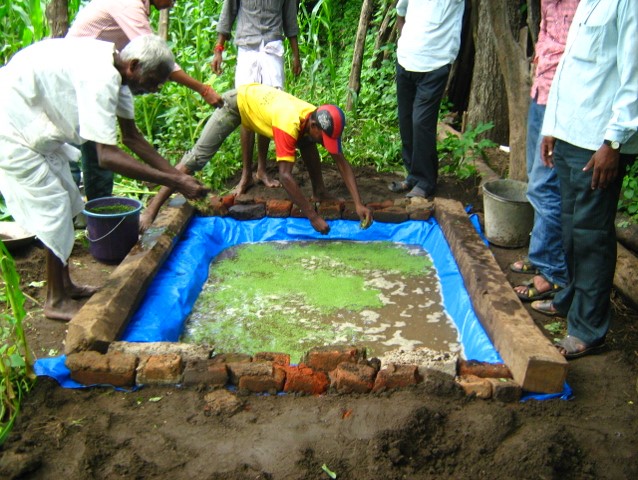
Rainfed areas, which account for 51% of the cultivated area, play a significant role in food production, contributing 40-45% of the total food production. To address the issues in rainfed farming, NABARD entered into watershed development space in the year 1992 through KfW assisted Indo-German Watershed Development Programme (IGWDP) in Maharashtra, wherein participatory approach of watershed development was adopted on a large scale for the first time. Based on the success in implementation of the participatory watershed development under IGWDP, Watershed Development Fund (WDF) was set up at NABARD in 1999-2000 with an initial corpus of ₹ 200 crore contributed equally by GoI and NABARD. It is augmented over the years through the interest differential earned under RIDF. Cumulatively, 2684 projects have been successfully completed/closed against the sanctioned 3673 watershed development and related projects, covering an area of 26.45 lakh ha, benefiting about 1.2 million households in vulnerable rainfed areas of the country. The cumulative grant assistance committed under all programmes is ₹ 2750.31 crore, out of which an amount of ₹ 2128.71 crore has been released as on 31st March 2023.
In view of increasing number of projects every year and emerging need for digitization of NABARD’s interventions in NRM sector to supplement physical monitoring, NABARD Bhuvan Portal (developed in collaboration with NRSC, ISRO) a web-based geospatial platform is being used. This portal is used for monitoring of the physical and financial progress for each activity/sub-activity being implemented under watershed development programme. The verified watershed boundary shapefiles are hosted on the portal after which implementing agencies can geotag the interventions using the BhuvanNABARD Mobile Application in the project areas along with photographs and other details. In addition to geotagging of assets created, the portal facilitates the impact evaluation of watershed development projects in terms of change detection of land use/land cover using and pre and post project satellite images.
|